Applications
Geospatial services and industry deployments across mining, agriculture, energy, infrastructure and defence.
Geospatial services
UAV Aeromagnetic Survey
High-precision magnetic surveys using advanced UAVs for geological mapping and mineral exploration in challenging terrains. Equipped with industry-leading magnetometers for sub-surface fidelity.
Shallow Geophysical
Non-destructive subsurface investigation using ERT, seismic, and GPR methods.
Aerial Thermal Imaging
Radiometric thermal analysis for solar plant inspection and heat loss detection.
Aerial LiDAR Services
High-density 3D point cloud acquisition for topographic mapping and forestry.
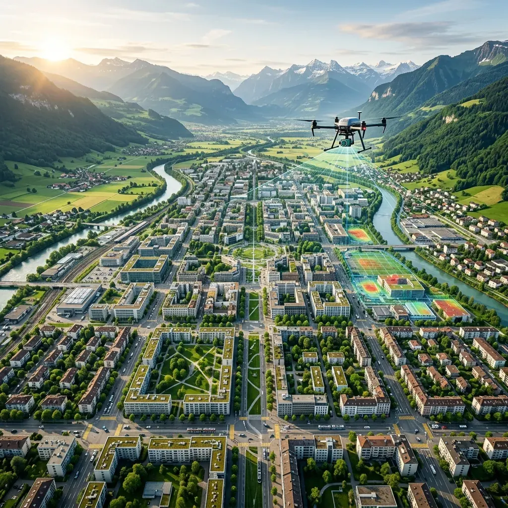
Aerial Survey & Mapping
Photogrammetric processing to generate orthomosaics and DTMs for urban planning.
Aerial 3D Scanning
Digital twin creation and 3D city modeling for smart cities, heritage preservation, and highly complex construction monitoring.
Critical Infrastructure
AI-driven anomaly detection and structural integrity assessments for wind turbines, offshore rigs, and power grids. Ensuring zero downtime for mission-critical assets.
Tactical ISR & Defense
Persistent airborne overwatch, secure encrypted data links, and multi-sensor payloads for tactical intelligence and border surveillance.
Where the aircraft earn their keep
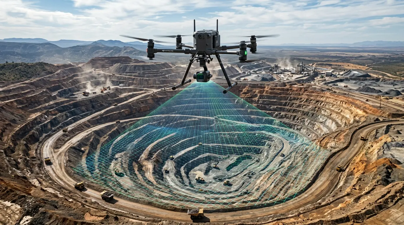
Mine Surveys & Volumetric Measurements
Geo-spatial data solutions for mines and quarries using well-equipped PPK/RTK drones, including DSM/DTM generation, 3D models, and precise stockpile volume calculations.
Road Inspection
Highway Corridor Mapping services for road defects, potholes, cracks, divider alignment, and street lights inspection using high-resolution aerial imagery.
River Mapping & Services
Mapping rivers for dam feasibility studies in difficult terrains, providing accurate topographical data and flood assessment capabilities.
Railway Services
Inspection of railway infrastructure, bridges, OHE (Overhead Equipment), contour maps, corrosion & crack identification using advanced UAV technology.
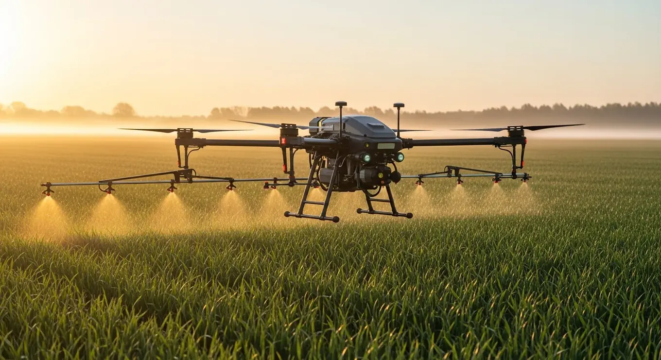
Agricultural Survey
Crop monitoring for farm owners and insurance companies using RGB and multi-spectral cameras for crop health assessment and yield estimation.
Pipeline Inspection
Oil & gas pipeline health assessment, erosion detection, vegetation overgrowth monitoring, and thermal anomaly detection using UAV-mounted sensors.
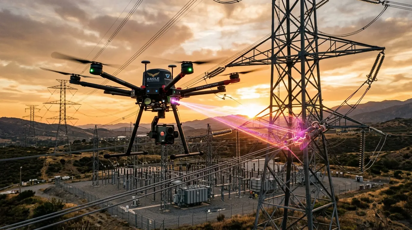
Powerline Monitoring & Maintenance
Regular monitoring of power transmission lines to evaluate vegetation conditions in protected zones and detect insulation failures or corrosion.
Solar Plant Inspection
Identifying faulty solar panels efficiently using drones with thermal imaging. Quickly locates underperforming units across vast solar farms.
Sectors we work in
Deposits Survey
Using UAV for precise magnetic field data acquisition, enabling high-resolution mapping of subsurface resources and anomalies.
Agriculture
Farmland inventory, electronic field maps and cadastral plans generation. Monitoring of farming equipment, crops state and land cover. NDVI and other indices calculation.
Urban Development & Land Planning
Control of target use of the land plots and security of real estate objects. Detection of illegal constructions. Mapping support of the municipal GIS.
Geodesy
Solve any mapping issue within the shortest possible time and with minimum labour cost. Detailed maps and accurate 3D models built from our UAV acquisitions.
Construction
Increase performance and control quality of performed works, obtaining the most relevant information at all construction stages — from pre-design through to the execution general plan.
Mining
3D modeling of open pits, measurement of scopes and monitoring of earth works. Detection of linear structures, assessment of horizontal and vertical displacements, profiles and change discovery.
Public Road System
Monitoring of road pavement condition, construction of longitudinal and cross profile. Examination of the railway bed, bridges and other facilities.
Oil and Gas Sector
Monitoring of oil and gas infrastructure, ground surface subsidence, territory ecological state and reclamation activities. Resource management and inventory of existing objects.
Forestry Management
Assessment of forest resource reserves, automatic calculation of trees and forest inventory. Detection of illegal cutovers, standing dead trees and water-logged areas.