
Solutions by Industry
Discover how our platforms are engineered from the ground up to solve the most demanding operational challenges.
When precision is your highest priority
Mapping the Unreachable
Terrain can be unforgiving and deadlines unrelenting. For the teams that need sub-centimeter accuracy across vast topographies, these platforms are your steadfast partners. They carry the most advanced sensors to bring the world into sharp focus.
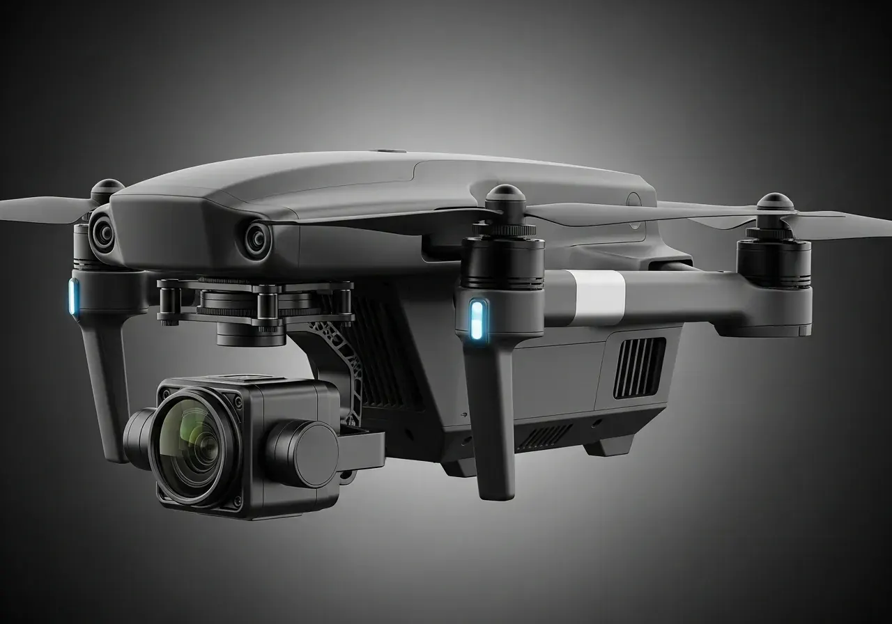
Precision mapping across wide range of industries using flexible swappable interchangeable multiple payload sensors. Stable & efficient system optimized to map at optimized/refined speed for each payload sensor.
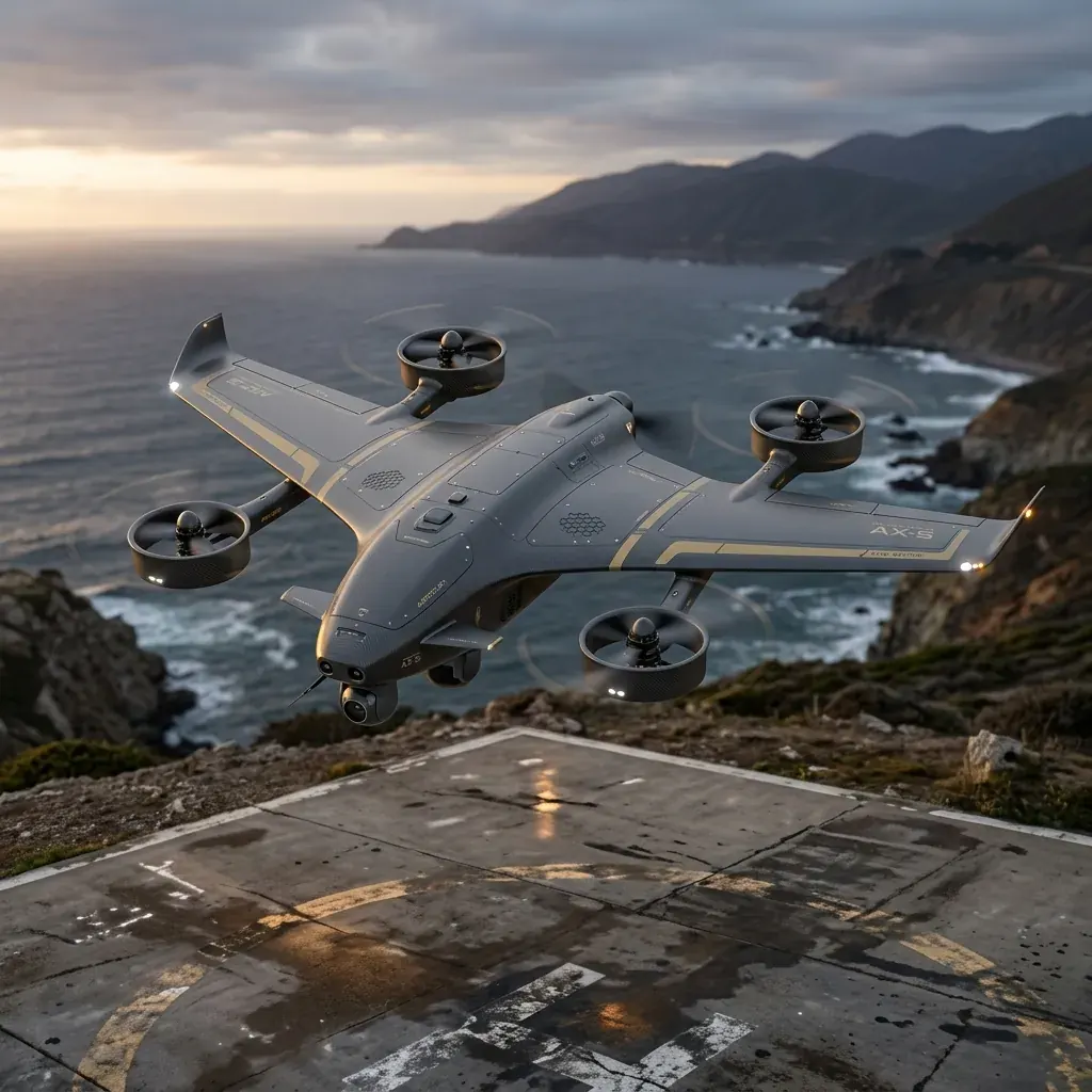
Long Range High Altitude. High Endurance precision mapping across industries using flexible swappable interchangeable multiple payload sensors.
Engineered to operate and withstand harshest environments and carry out precision mapping using wide range of swappable payload sensors.
An unblinking eye in the sky
Securing the Perimeter
Safety doesn't clock out. Whether protecting critical infrastructure, aiding first responders, or monitoring vast borders, you need round-the-clock vigilance. These platforms empower you to see clearly when it matters most, day or night.
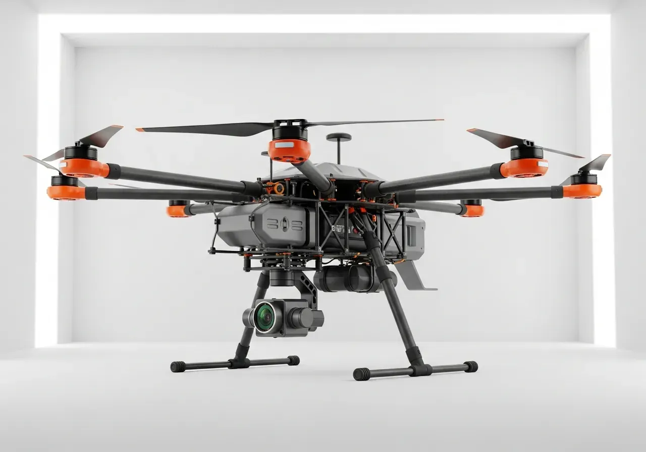
Drishti: an eye in the sky for home guard forces. Providing aiding day/night police surveillance from high AGL.
When the stakes are absolute
Defending the Frontline
Tactical superiority requires more than just hardware; it requires intelligent, autonomous, and secure systems that perform flawlessly under extreme pressure. From strategic ISR to loitering munitions, these platforms are built for the frontlines.
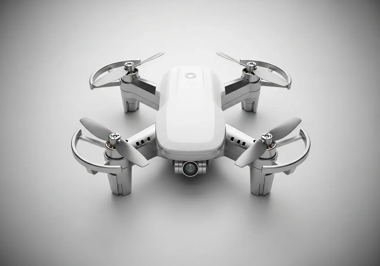
AI-enabled short range strategic surveillance for armed forces with object identification and tracking feature.
AI-enabled short range strategic surveillance in harsh environments deep sea waters for navy with object identification and tracking feature. Can deliver small payload. Video feed ONLY!
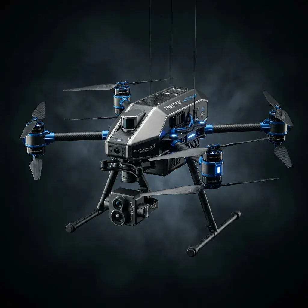
High Altitude. AI-enabled Long Range High Endurance strategic surveillance for armed forces with object identification and tracking feature.
Reconnaissance / Strategic mapping within enemy territories or inaccessible or sensitive areas with a desired accuracy of 1 - 2 m. The final processed geo-referenced output data (DEM/ORI/etc.) help in precision strikes.
Designed to carry out reconnaissance / strategic mapping in harsher environments within the enemy territories, inaccessible or sensitive areas with a desired accuracy of 1 - 2 m. The final processed geo-referenced output data help in precision targeting.
Silent High Endurance Long Range Reconnaissance / strategic mapping deep inside enemy territories and/or sensitive/inaccessible areas with a desired accuracy of 1 - 2 m. The final processed georeferenced output data helps in precision targeting.
Short range. High speed, robust, accurate loitering Munition & payload drop system with a maximum carrying capacity of 1.5 kg.
Long Range, High Endurance, High Altitude, High speed accurate loitering Munition & payload Drop system with a maximum carrying capacity of 2.5 kg.