
Certified aviation systems, built in mission mode
We engineer and deliver highly precise UAV solutions that redefine operational effectiveness across mapping, surveillance, and defense domains.
Reliability and repeatability in extreme environments
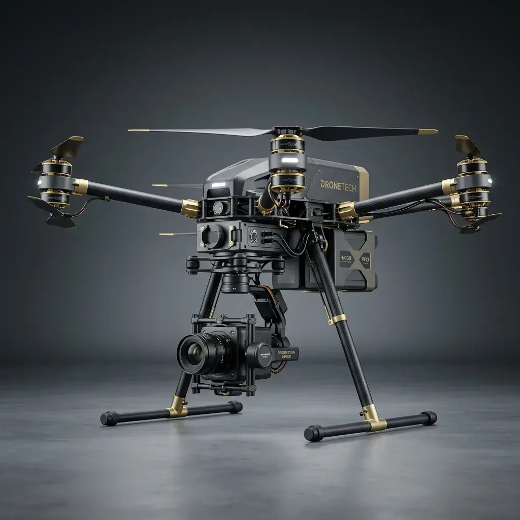
Our products are the result of in-depth market research, continuous technological innovation, and a strong focus on engineering excellence, enabling the seamless integration of current and emerging UAV technologies into practical, mission-oriented solutions. We have developed a diverse range of multirotor and fixed-wing VTOL platforms tailored for applications including mapping and surveying, strategic and industrial surveillance, and mission-specific defence operations.
Designed to perform reliably and with precision in challenging environments, our UAVs incorporate specialized architectures that support multiple interchangeable and swappable payload sensors, providing enhanced flexibility and operational versatility across evolving mission requirements. These platforms are operated through our in-house developed Ground Control Station (GCS), which enables integrated mission planning, flight monitoring, and operational control across an extensive range of field challenges and terrains.
Its open architecture also allows for easy integration of applications through plug-ins, providing greater flexibility and adaptability across different operational requirements. Together, these capabilities form an integrated UAV ecosystem designed to deliver reliable performance and effective mission execution in demanding real-world environments.
From the founder's desk
SkyMinds was started to bring full-stack ownership to unmanned aviation. We spent three years in mission mode building systems we would be willing to stake a survey on.
Everything is ours: the airframes, the software, and the payload integration. When a mission requires more, we adapt the system rather than explain its limits.
— The SkyMinds engineering team
“They flew a pit we'd been told was unmappable in monsoon season and still hit our accuracy spec. The volumetrics reconciled against ground survey.”
“Swappable payloads meant one mobilisation instead of three. That alone paid for the engagement.”
“The GCS is theirs, so when we needed a custom flight pattern they changed it. No vendor ticket queue.”
“Data arrived clean and georeferenced. Our processing team had almost nothing to fix.”
“Endurance numbers held up in real conditions, not just on the datasheet. That's rarer than it should be.”