We Design. We Build. We Fly.
About Us
SkyMinds Unmanned Systems Private Limited was founded in response to the growing demand for unmanned aviation solutions across diverse industries and the strategic push toward indigenous aerospace and defence technologies. Over the past three years, SkyMinds has operated with a mission-driven approach to develop and deliver advanced Unmanned Aerial Vehicle (UAV) systems that demonstrate reliability, repeatability, and operational effectiveness in real-world environments.
Built in-house, start to finish
In-House UAV Design and Development
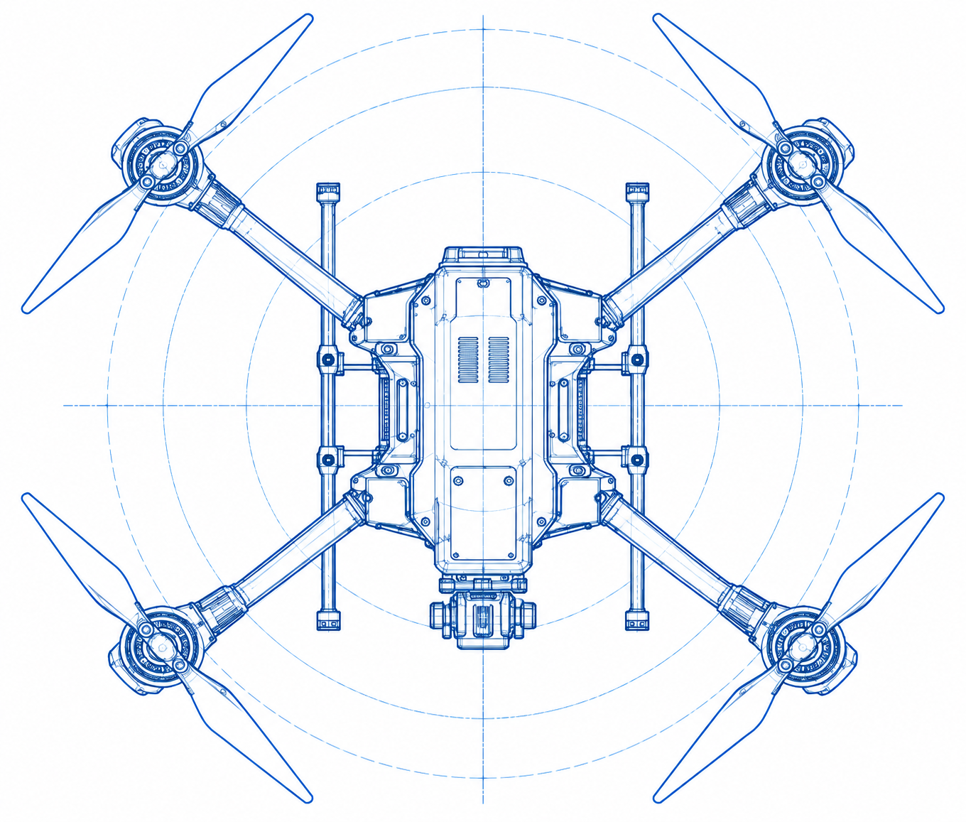
At SkyMinds, we design and build our UAV systems from the ground up. The airframe is developed entirely in-house by our engineering team, with a focus on performance, reliability and mission flexibility.
Through a structured process of design, simulation, prototyping and field testing, we continuously refine our platforms to meet real-world operational needs.
Advanced Composite Manufacturing
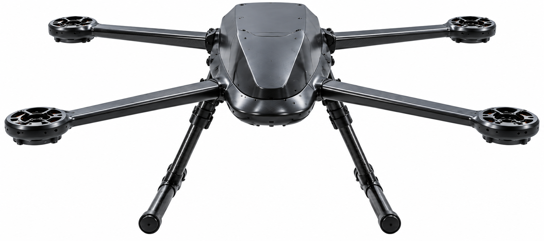
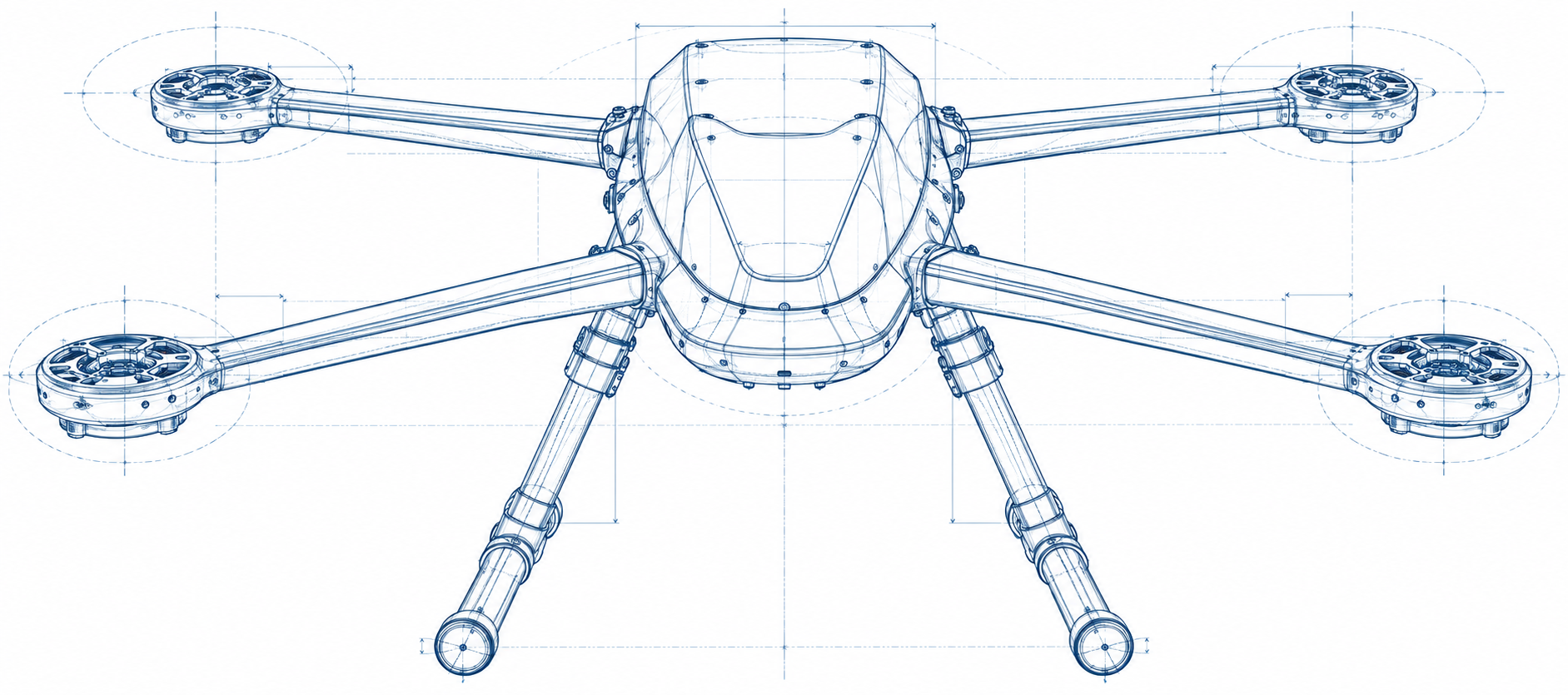
Precision composite airframes, continuously refined through field testing and real-world flight conditions. Optimized aerodynamics, structural robustness, and a smooth surface finish come together in a design engineered for demanding operations and dependable performance.
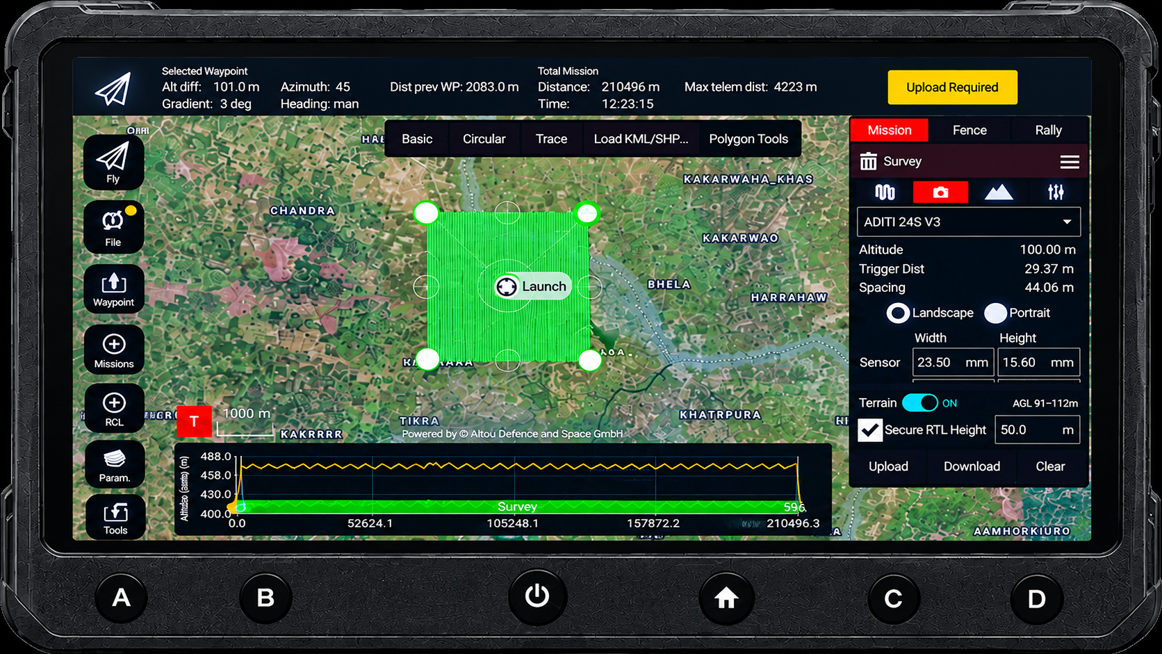
Mission-Ready GCS
A purpose-built ground control system, engineered entirely in-house around the capabilities and demands of each UAV platform. Designed for specific missions, payloads, and operating conditions, every interface and function is refined to work seamlessly with the UAV. Mission-focused control, real-time situational awareness, and optimized flight management come together in a GCS engineered for precision, reliability, and confident mission execution.
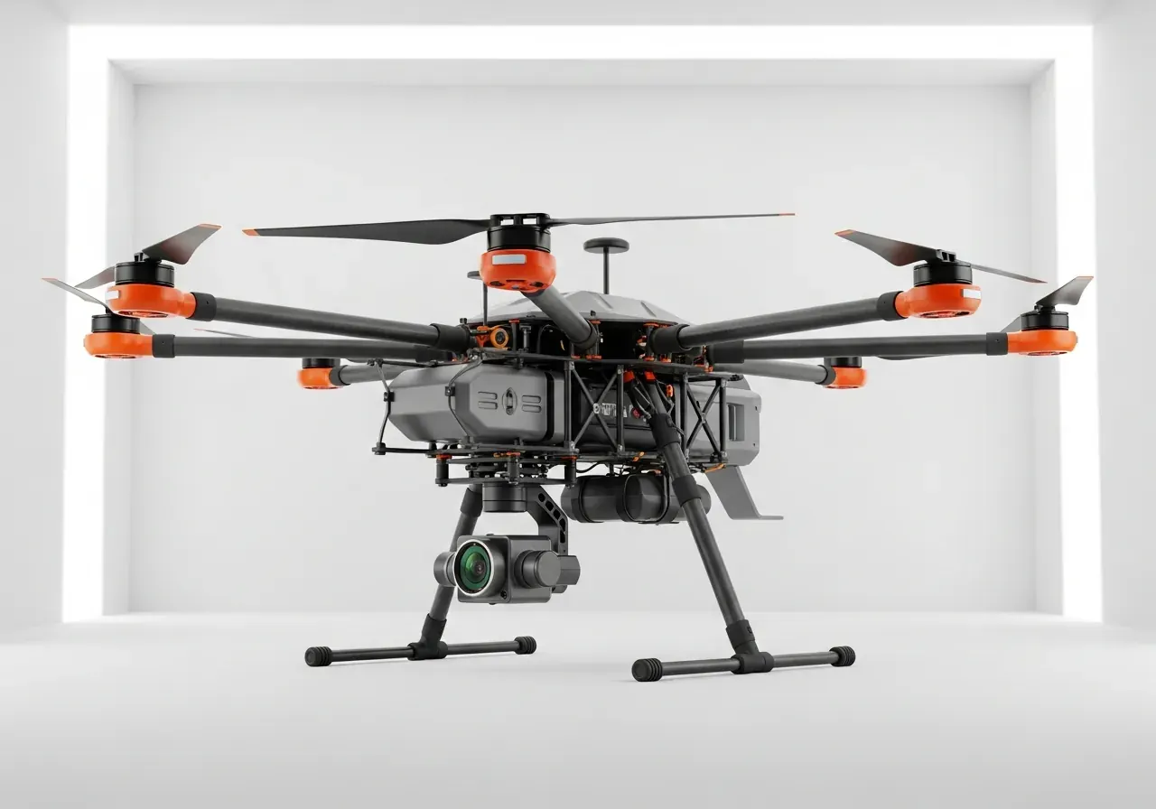
The Sentinel
Industrial hexacopter equipped with thermal imaging and LiDAR for complex inspections.
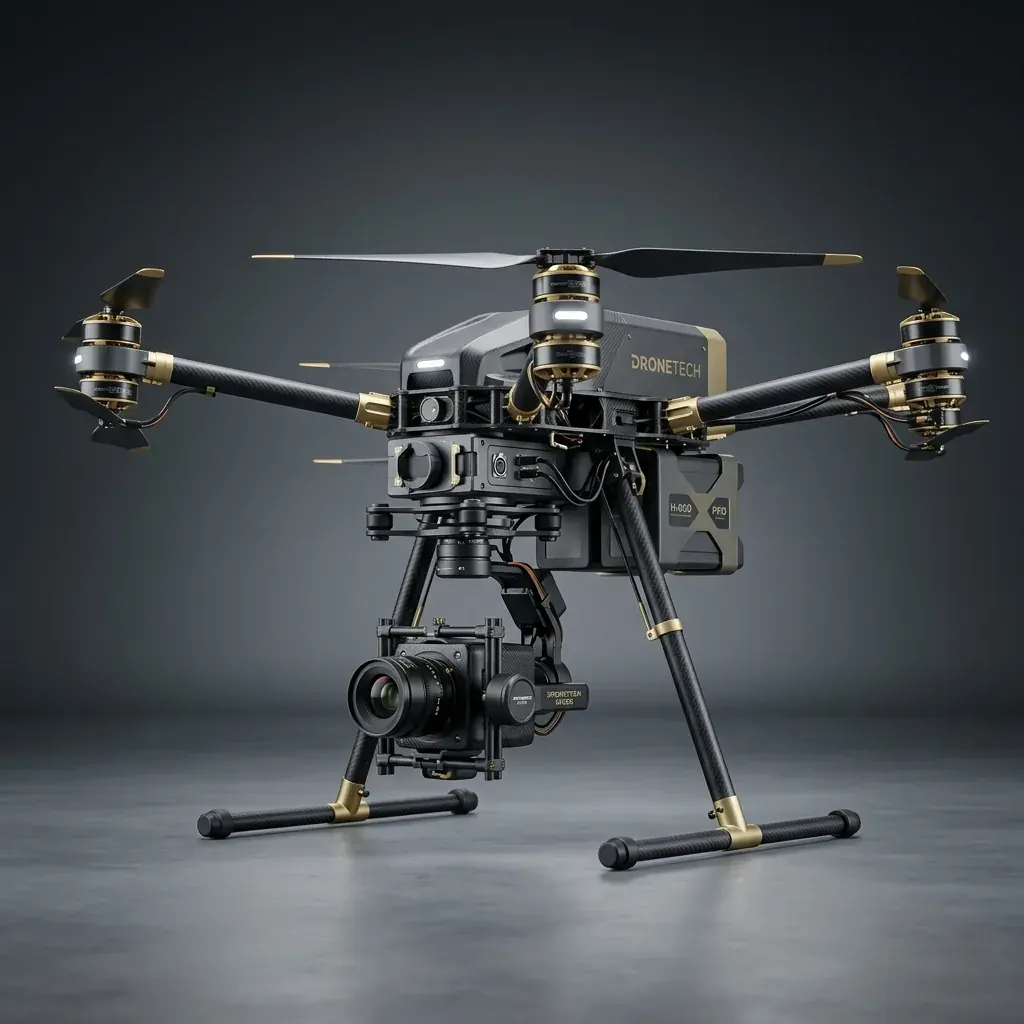
Terrain Wizard
Precision mapping multicopter with RTK capabilities for centimeter-level accuracy.
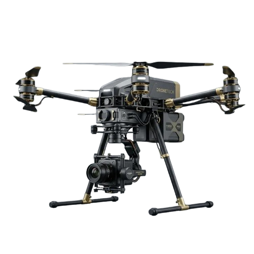
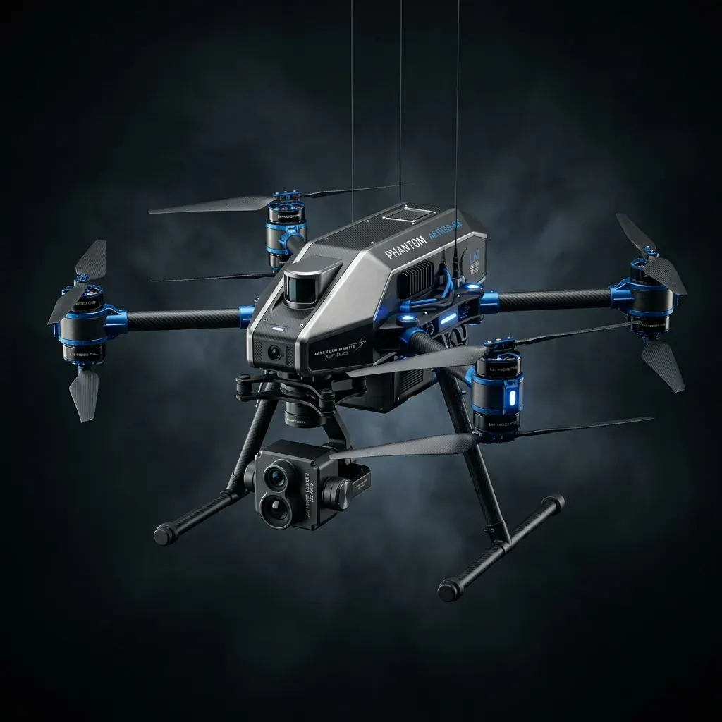
Long Haul
Heavy-lift multirotor designed for autonomous logistics and cargo transport across long distances.
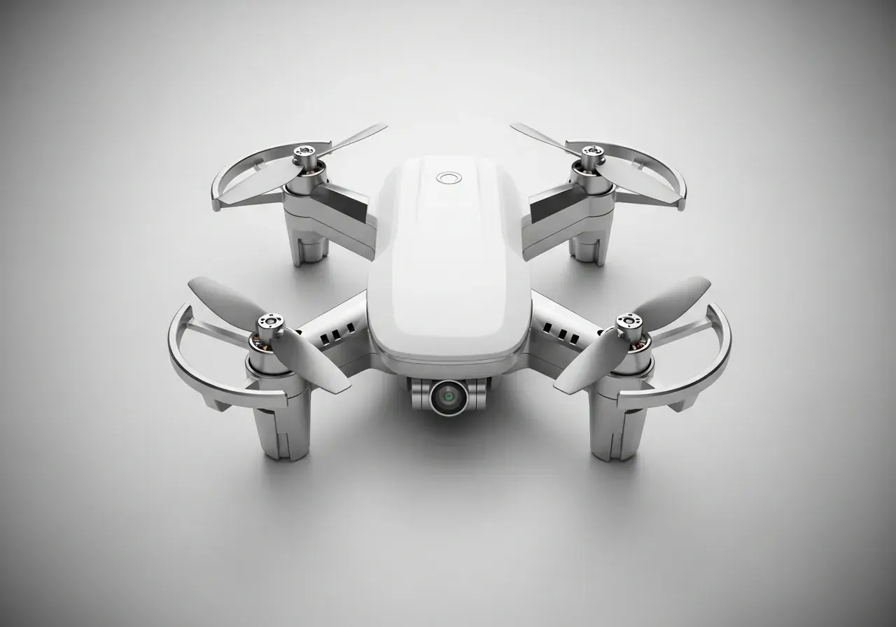
Naval Micro
Compact, stealthy nano-drone for close-quarters reconnaissance and tactical operations.
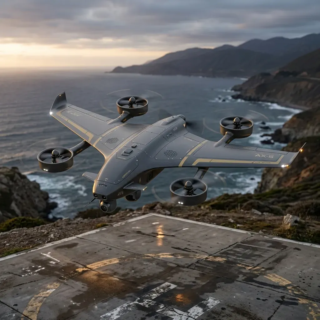
Drishti VTOL
Long-endurance Fixed-Wing VTOL for strategic mapping, border surveillance, and rapid deployment in challenging terrains.
The Sentinel
Industrial hexacopter equipped with thermal imaging and LiDAR for complex inspections.
Terrain Wizard
Precision mapping multicopter with RTK capabilities for centimeter-level accuracy.
Long Haul
Heavy-lift multirotor designed for autonomous logistics and cargo transport across long distances.
Naval Micro
Compact, stealthy nano-drone for close-quarters reconnaissance and tactical operations.
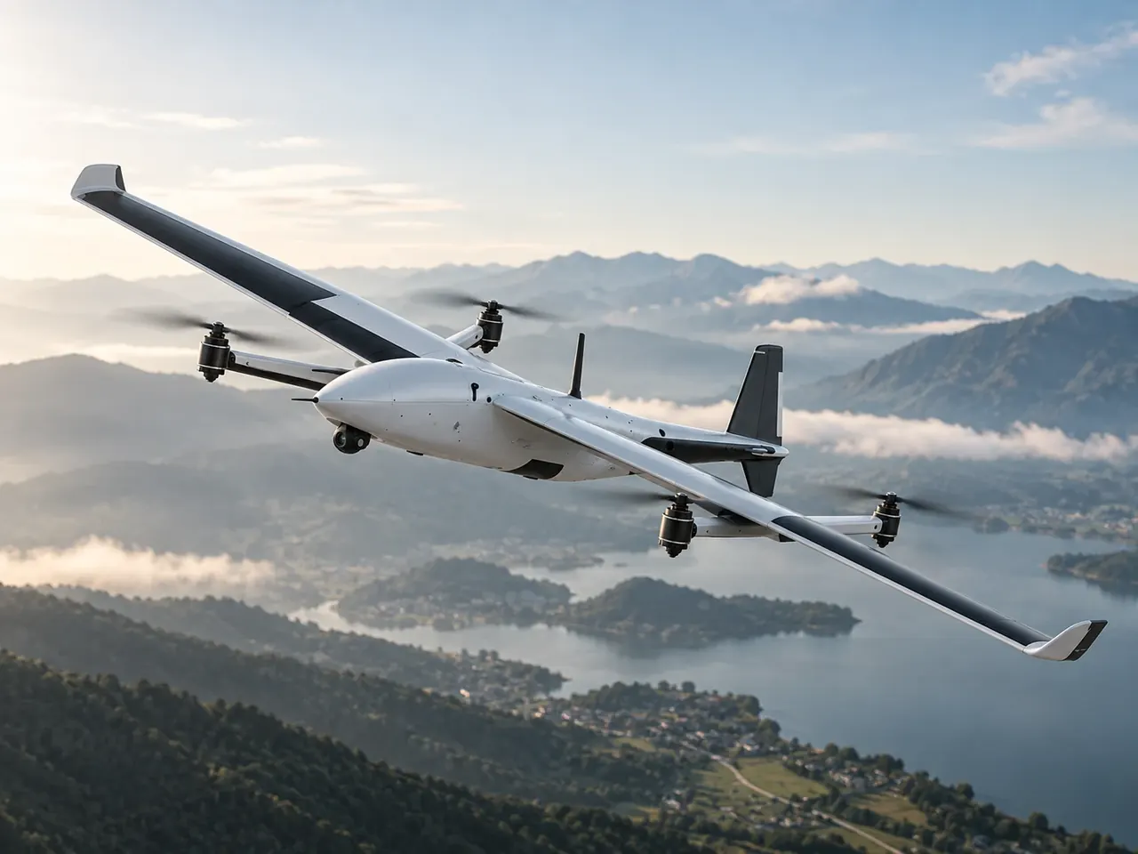
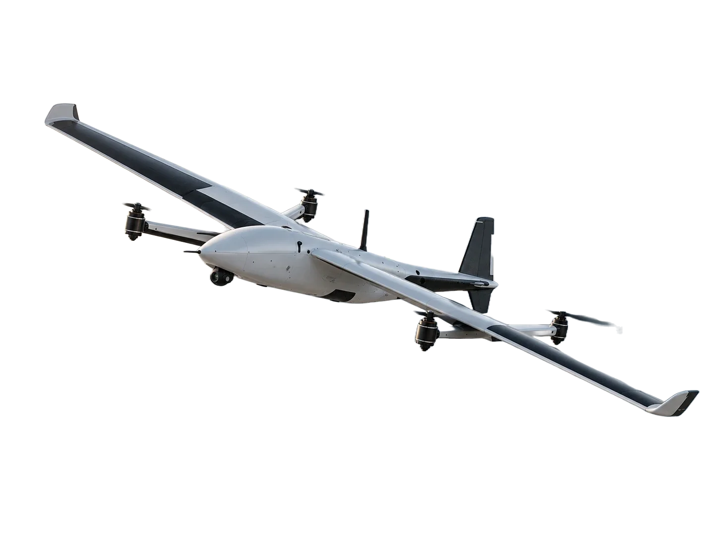
Flight-Tested. Proven.
Every UAV platform goes through rigorous ground and flight testing to validate its performance, reliability, stability, and mission capabilities in real-world conditions.
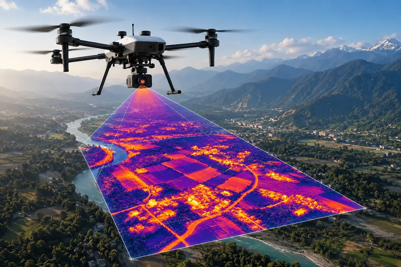
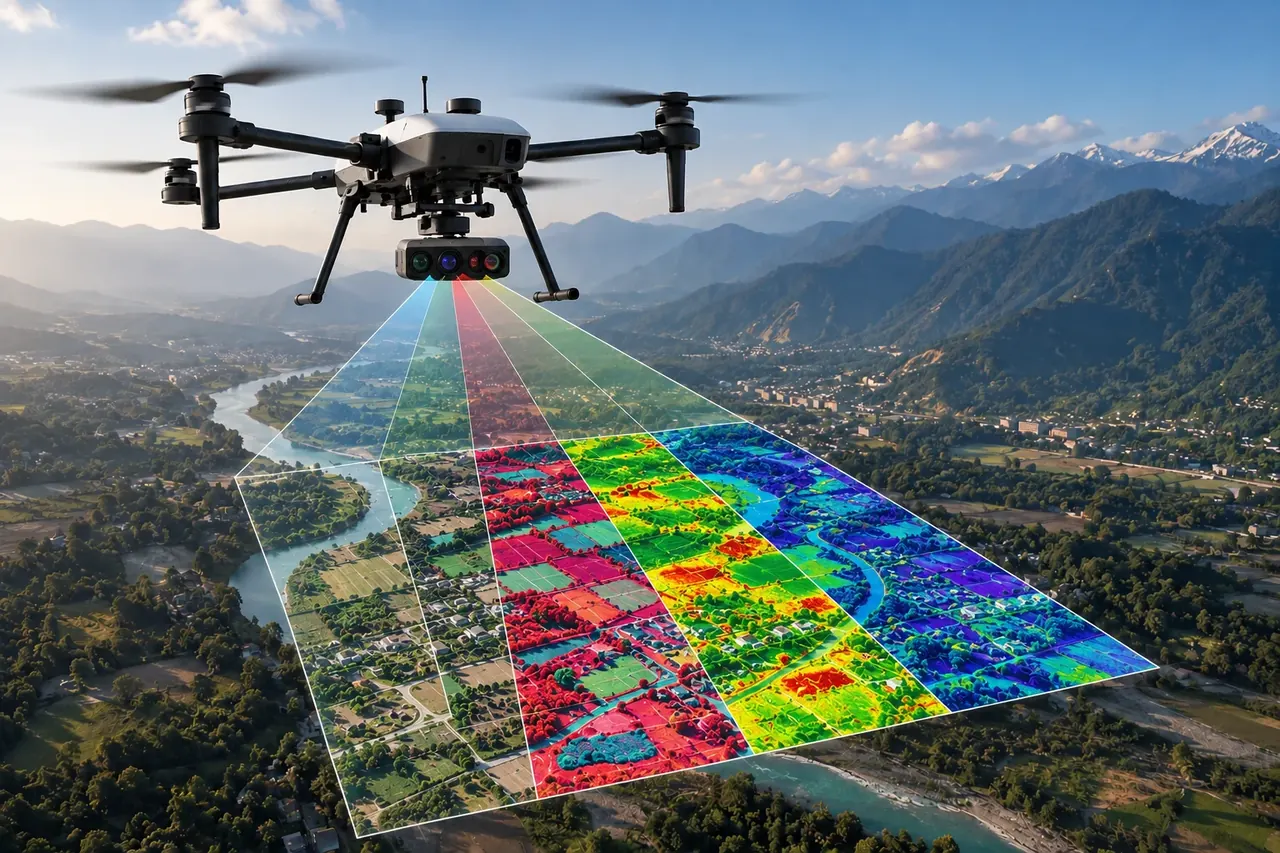
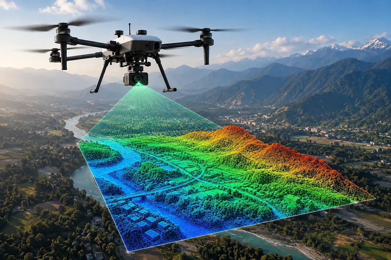
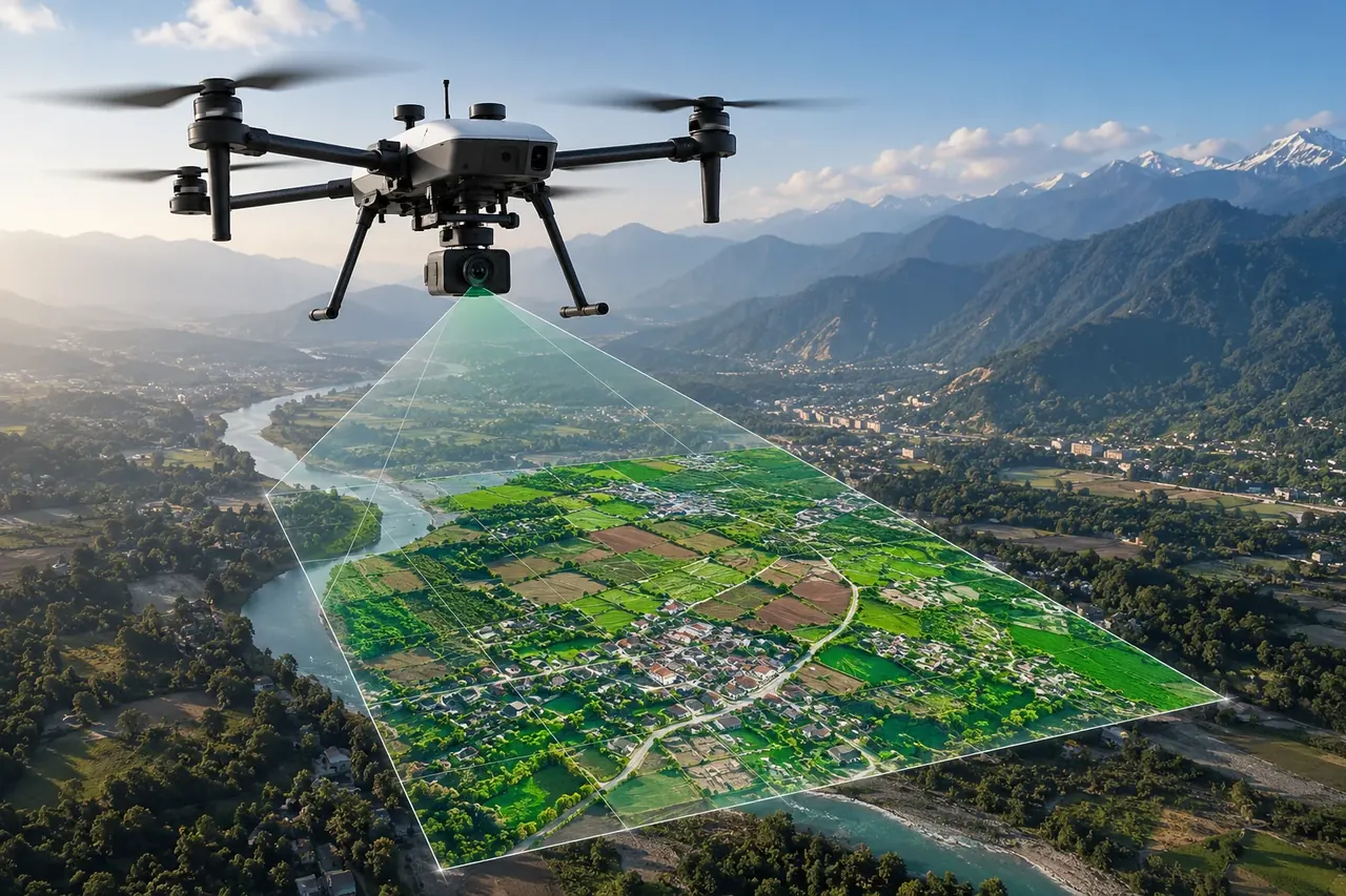
One Platform. Multiple Payloads. Multiple Missions.
Our modular swappable-payload architecture allows a single UAV platform to support multiple mission-specific payloads, reducing the need for separate aircraft for different applications.
From the founder's desk
SkyMinds was started to bring full-stack ownership to unmanned aviation. We spent three years in mission mode building systems we would be willing to stake a survey on.
Everything is ours: the airframes, the software, and the payload integration. When a mission requires more, we adapt the system rather than explain its limits.
— The SkyMinds engineering team
“They flew a pit we'd been told was unmappable in monsoon season and still hit our accuracy spec. The volumetrics reconciled against ground survey.”
“Swappable payloads meant one mobilisation instead of three. That alone paid for the engagement.”
“The GCS is theirs, so when we needed a custom flight pattern they changed it. No vendor ticket queue.”
“Data arrived clean and georeferenced. Our processing team had almost nothing to fix.”
“Endurance numbers held up in real conditions, not just on the datasheet. That's rarer than it should be.”
Frequently asked questions
Have more doubts? Reach out to us at contact@skyminds.in
Need a UAV team that owns the whole stack?
We handle the aircraft, the payload, the flight and the data — from scoping through to a signed-off deliverable.
Talk to engineering